

 NOAA / National Weather Service
U.S. Tsunami Warning System

- Products/Messages
- Tsunami Data
- Education/Outreach
- Exercises
- NOAA Tsunami Program
- TsunamiReady
- International Tsunami Information Center (ITIC)
- ITIC Caribbean Office
- Tsunami Research
- National Tsunami Hazard Mitigation Program
- UNESCO-IOC Tsunami Programme
- Tsunami Warning Centers
- Follow Us!
 Twitter
 Facebook
 YouTube
National Tsunami Warning Center, NOAA/NWS
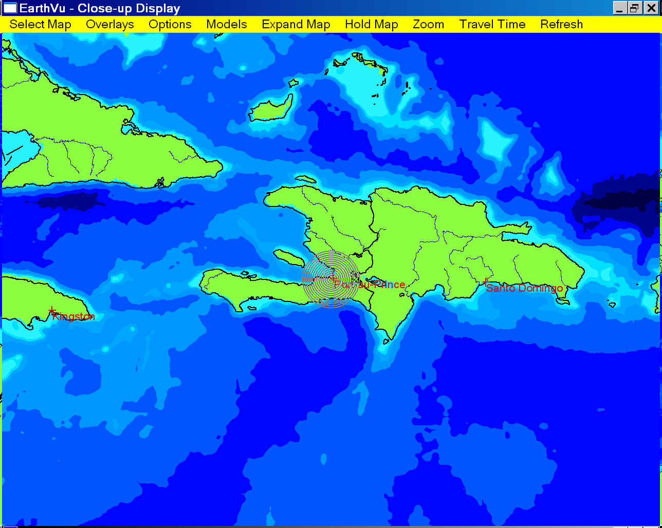
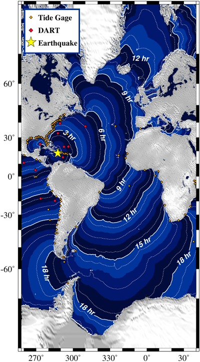
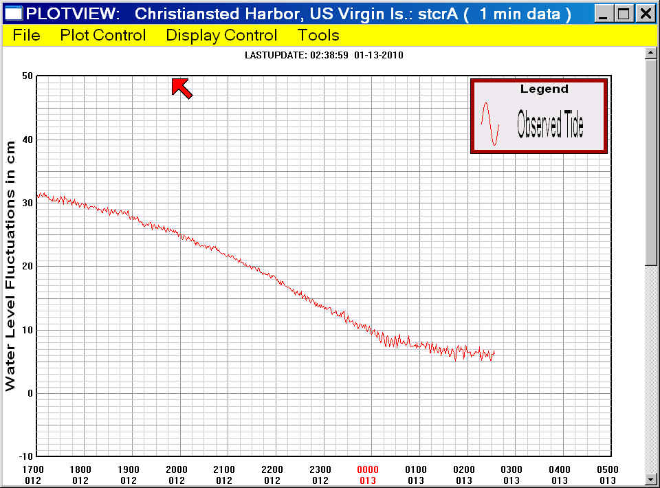
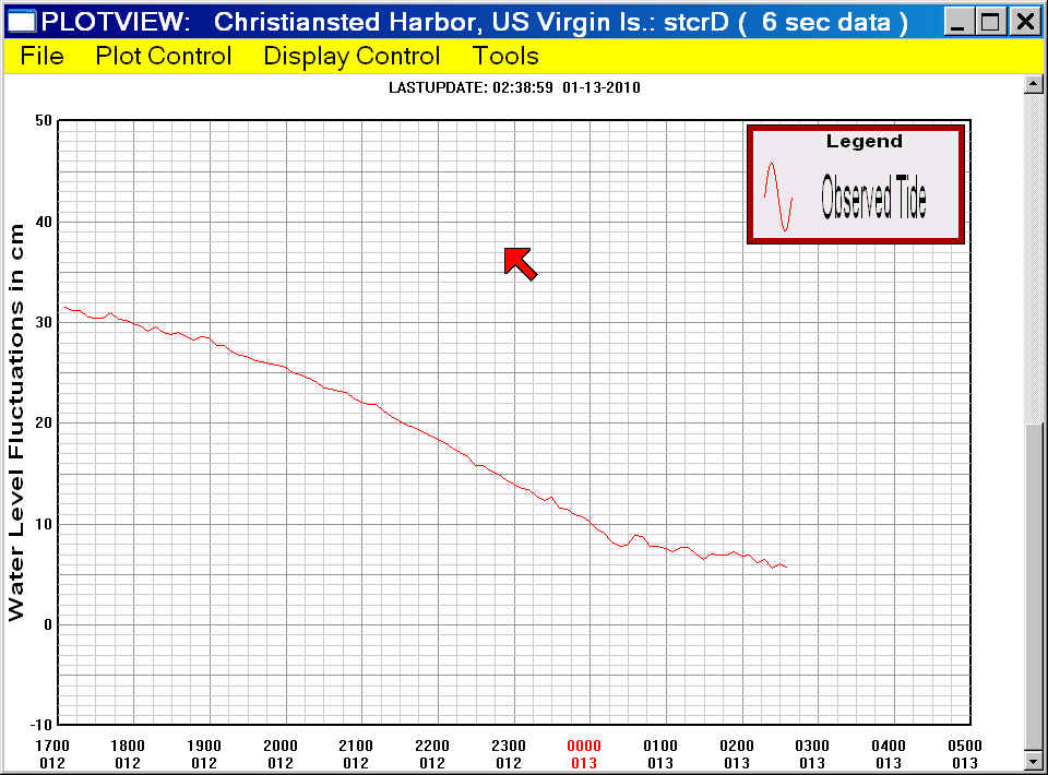
Haiti Tsunami of 12 January, 2010
A major earthquake with a moment magnitude of 7.0 (USGS Magnitude) occurred at 2153 UTC, 12 January, 2010 (day 012) and was located 16 km (10 miles) SW of Port-Au-Prince, Haiti (18.451 N, 72.445 W, at a depth of 9.9 km/6.2miles - USGS location).
This earthquake produced a tsunami that was
recorded at tide gages monitored at the Tsunami Warning Centers. Many observatories provide data to
the centers; such as the NOAA National Ocean Service, the U. of Hawaii Sea Level Center, the Chilean
Navy, and the National Tidal Facility in Australia among others. Click on the site name to see a
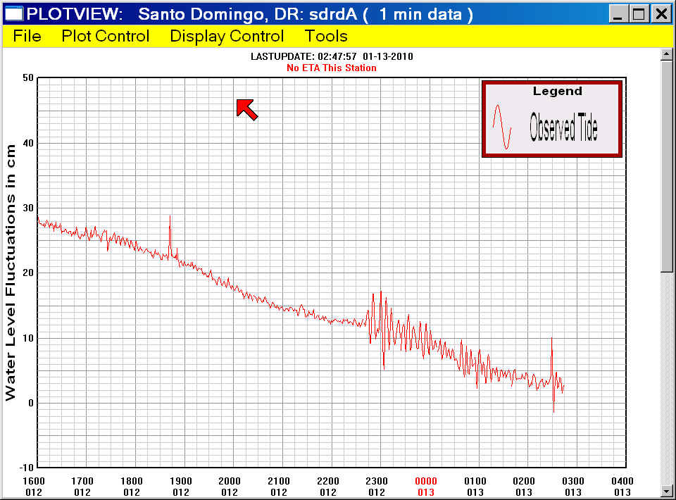
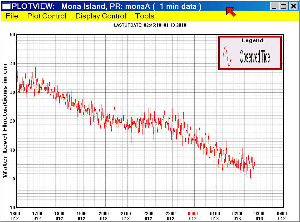
graph of the tsunami, when available. Listed wave heights are maximum amplitude in cm (above sea
level). Observed Arrival time is the actual tsunami arrival time in UTC on gages where it could be
determined. The Sample Interval column shows the time between samples.
For additional information about this tsunami event see the Pacific Tsunami Warning Center's homepage.
|
|
|
Tide gage |
Peak amplitude (above sea level in cm) |
Observed Initial Arrival time (UTC) |
Initial motion |
Sample Interval (min) |
Data File (Julian Day Starts at 0000 UTC) |
|
6.2 |
2240 |
rise |
1 |
||
|
? |
~2300 |
? |
1 |
||
|
1.0 |
~2325 |
? |
1 |
||
|
1.0 |
~2325 |
rise |
6 |