


 Twitter
 Facebook
 YouTube
Earthquake:
Message: AK/BC/US West Coast Warn/Adv./Watch #2
Issued Sat Jan 05 09:31:49 UTC 2013
Tsunami Warning

 Earthquake
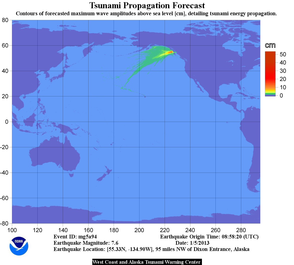 Energy Map
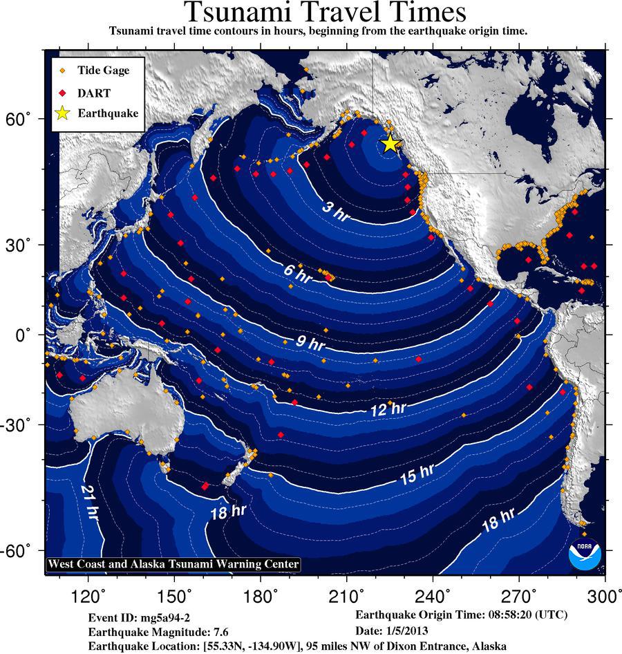 Travel Time Map